- GPX file: https://www.overlandbound.com/map-location/14696
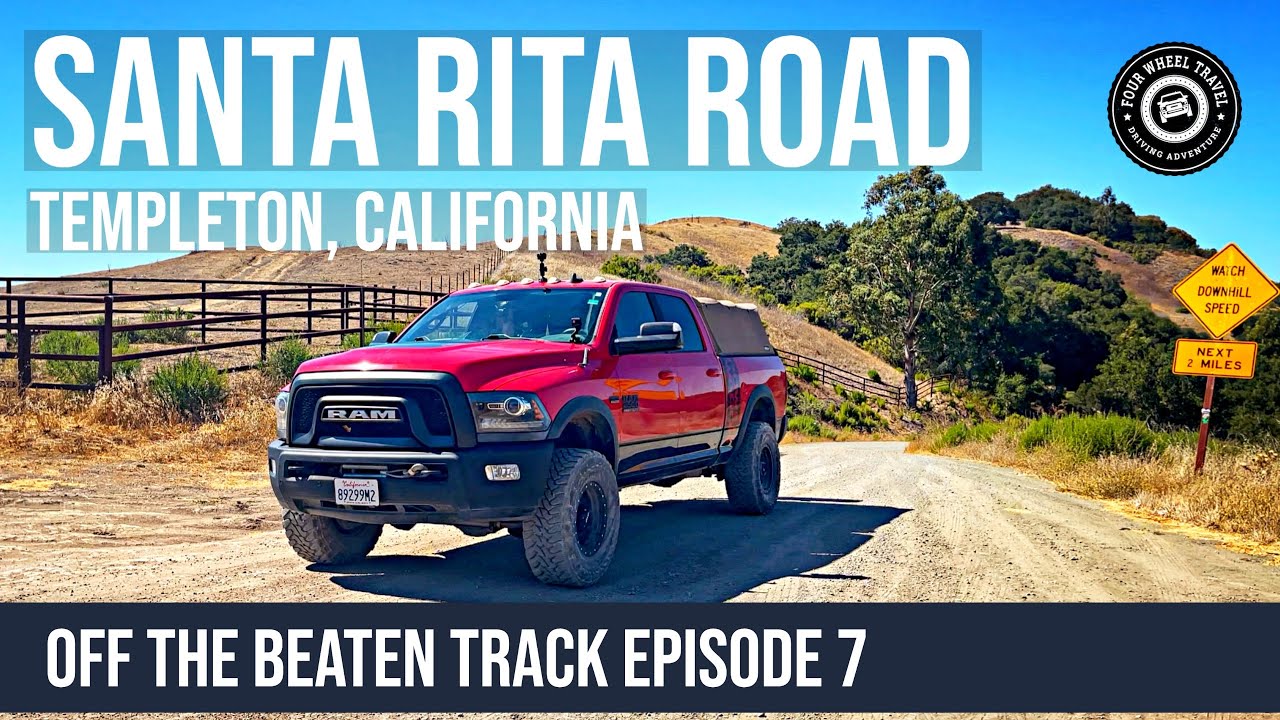
- Track Length: 14.79 miles.
- Track Duration: 1 hr.
- Difficulty Rating: EASY
- Track Conditions: This is an easy track, with a few semi-shelf roads but nothing too dramatic, at least during the dry season. Watch for cyclists around blind corners!
- Recommended Vehicle: Most vehicles will be OK on this track. Not recommended in wet conditions for any vehicle due to the proximity of the creek parallel to the road at the north end, and the steep drop-offs at various points along the dirt section.
- Camping: There is no camping along Santa Rita Road.
- Notes: As with many of the county-maintained dirt roads, this road passes through private property and all no trespassing and no hunting signs must be obeyed.
This scenic 15-mile route moves through ranch land, orchards, and vineyards to wooded creekside hills. It is mostly very well-graded dirt, with a few miles of pavement at each end.
This route sits between Highway 46 to the north and Highway 41 to the south, and follows approximately the same direction, running from close to the US 101 freeway in the east to the coastal area in the west. If we had to guess, we’d say this road was not paved because it is just too winding (compared to the above-mentioned roads), and it serves today mostly as access to the various ranches and residences dotted along its course.
At the west end, the road terminates where it joins Old Creek Road; making a left at the junction takes you to Whale Rock Reservoir and the coastal towns of Cayucos and Morro Bay a little further south.
Though steep and twisting in places, the road is very well-graded and there are no specific vehicle requirements for the route; that said, we would not recommend the route when conditions are wet due to the combination of steep drop-offs at various points coupled with tight turns.
One thing to be aware of for the general safety of everyone is that from our experience this road appears to be a popular route for cyclists. We encountered several cyclists along the way, and the steep, twisting, blind corners at various points mean extra caution should be exercised.
There is no camping anywhere along Santa Rita Road and it is important to note that county roads such as this often cross private property. While you may have a right to travel along the route, all “no trespassing” signs and other posted notices must be obeyed.
Check out the other tracks in our Off The Beaten Track series.
Follow us on Mastodon at fourwheeltravel@overland.social or sign up for a Mastodon account on our overland-themed Mastodon instance at overland.social!
Gear we use:
- GoPro Hero11 Black Mini
- GoPro Hero11 Black
- GoPro Hero7 Black
- GoPro Suction Cup Mount
- RAM Mounts X-Grip Phone Holder
- RAM Mounts Suction Base
- Garmin VIRB 360 Camera
- Tube Mounted base for Rotopax
- General Rotopax Accessories at Amazon
As Amazon Associates, we earn a commission on qualifying purchases.