use ctrl + click to control 3D camera
- GPX file: https://www.overlandbound.com/map-location/14509
- Track Length: 10.67 miles.
- Track Duration: 1 – 2 hrs (we took our time)
- Difficulty Rating: EASY
- Track Conditions: While this is an easy track, there are some hair-raising shelf roads at various points (specifically right at the northern end of the track, and then descending into the Little Sur basin). Additionally, the road can be muddy and/or rocky in places. The road is impassable (and gates are possibly closed) when wet.
- Recommended Vehicle: 4WD or AWD is recommended. High clearance recommended.
- Camping: There is no camping along Old Coast Road. The track passes through various private ranches and you will see many notices reminding you of such. There are campsites up and down the PCH however, including Kirk Creek and Plasket Creek campgrounds. You may also find free camping if you venture onto the USFS tracks in the area.
- Notes: There is absolutely no camping and no fires are allowed along the track, and you will see signs promising hefty fines for those caught breaking these rules.
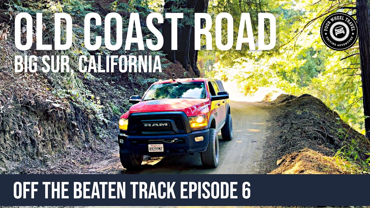
We drive along Old Coast Road in Big Sur, California. This amazing 10-mile stretch of single-track dirt road was, as its name suggests, the old coastal road used by those traveling from San Franciso to Los Angeles.
In 1932 the iconic Bixby Bridge was completed and the opening of that bridge basically bypassed this stretch of dirt road. The Old Coast Road is maintained by the county for access to the various private properties for whom the road is the primary access, and driving along the road is really a step back in time as it traverses shelf roads, Redwood stands, single-lane bridges and peeks out here and there with spectacular views of the Pacific Ocean!
We would recommend a high-clearance vehicle. The road is rutted in places, and rocky in others. We would strongly advise against attempting this without at least all-terrain tires, and four-wheel drive or at least all-wheel drive is recommended. The road is impassable when wet, and if you’ve traveled this route, you will know why – there are shelf roads with sheer drops of hundreds of feet interspersed throughout the track, and there’s no way I’d want to be out here in slippery conditions!
We traveled in the north-south direction, starting at Bixby Bridge on the Pacific Coast Highway, then traveling the 10 miles of dirt track to emerge back onto the PCH at the Andrew Molera State Park.
There is no camping anywhere along the Old Coast Road, and it is essential to note that county roads such as this often cross private property. While you may have a right to travel along the route, all ‘no trespassing’ signs must be obeyed. There is absolutely no camping and no fires are allowed along the track, with hefty fines for those caught breaking these rules.
Edit: I called out Bixby Mountain in the video; there is a Bixby Mountain nearby but the peak we were looking at is Pico Blanco, a 3,709 ft peak composed of Granite, from which is derived the name Pico Blanco, or White Peak. This peak is visible from various points along Old Coast Road.
Check out the other tracks in our Off The Beaten Track series.
Follow us on Mastodon at fourwheeltravel@overland.social or sign up for a Mastodon account on our overland-themed Mastodon instance at overland.social!
Gear we use:
- GoPro Hero11 Black Mini
- GoPro Hero11 Black
- GoPro Hero7 Black
- GoPro Suction Cup Mount
- RAM Mounts X-Grip Phone Holder
- RAM Mounts Suction Base
- Garmin VIRB 360 Camera
- Tube Mounted base for Rotopax
- General Rotopax Accessories at Amazon
As Amazon Associates, we earn a commission on qualifying purchases.