use ctrl + click to control 3D camera
- GPX file: https://www.overlandbound.com/map-location/14187
- Track Length: 19 miles, including about 5-6 miles of dirt at the summit, coincident with the Fresno/Monterey county line.
- Track Duration: 1 hr.
- Difficulty Rating: EASY
- Track Conditions: Paved in the lower stretches. Well-graded dirt from the county line down into Parkfield.
- Recommended Vehicle: 4WD or AWD is recommended, but most vehicles will manage just fine in the dry. Avoid in the wet season.
- Camping: No camping along Parkfield Grade.
- Website: https://parkfield.com
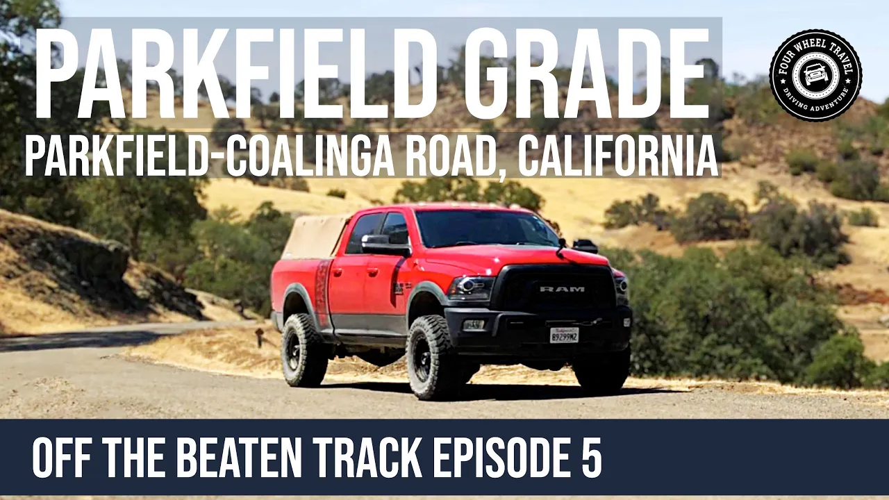
We drive along Parkfield Grade to the town of Parkfield – the Earthquake Capital of California! Parkfield Grade (or Parkfield Coalinga Road as it is labeled on the Monterey County side of the county line) is a 19-mile route connecting the CA 198 near Coalinga in Fresno County to the tiny ranch town of Parkfield (population 18) in Monterey County.
An earthquake of magnitude 6.0 or higher occurs in Parkfield on average once every 22 years. It has earned the moniker “Earthquake Capital of the World” as a result. Numerous seismologists and researchers have been drawn to the town since it practically rests on the San Andreas Fault line. The town is home to a USGS earthquake monitoring station, and workers at the station make up a significant portion of the town’s population.
Entering the town from the Monterey County side, you cross the Parkfield Bridge, installed in 1932. The bridge straddles the Pacific and North American tectonic plates and is visibly curved now due to the relative movement of the two plates.
The town of Parkfield is home to Parkfield Cafe and Parkfield Lodge, and the related V6 cowboy ranch (linked above). It is well worth a stop at the cafe, we had a late lunch with excellent burgers and cold drinks, a welcome respite from the 100+ degree heat that day!
We traveled in the north-south direction, starting at the CA 198 near Coalinga. The grade itself is paved on the Fresno County side of the line, as it climbs some 2,500ft to the summit. As the road crosses into Monterey County the pavement ends and we were treated to several miles of well-graded dirt roads as the route winds down into Parkfield, with scenic vistas at every turn. The road is easily passable by any vehicle during the dry summer months.
There is no camping anywhere along the Parkfield Grade, and it is important to note that county roads such as this often cross private property. While you may have a right to travel along the route, all no-trespassing signs must be obeyed.
Check out the other tracks in our Off The Beaten Track series.
Follow us on Mastodon at fourwheeltravel@overland.social or sign up for a Mastodon account on our overland-themed Mastodon instance at overland.social!
Gear we use:
- GoPro Hero11 Black Mini: https://amzn.to/3tHQoyc
- GoPro Hero11 Black: https://amzn.to/3fQw4Hf
- GoPro Hero7 Black: https://amzn.to/3Lld3s0
- GoPro Suction Cup Mount: https://amzn.to/3Dyc59X
- RAM Mounts X-Grip Phone Holder: https://amzn.to/3UmBAB5
- RAM Mounts Suction Base: https://amzn.to/3xt3OQU
- Garmin VIRB 360 Camera: https://amzn.to/2RSPyze
- Tube Mounted base for Rotopax: https://amzn.to/3nI4g8L
- General Rotopax Accessories at Amazon: https://amzn.to/3ySw4gU
As an Amazon Associate, we earn a commission on qualifying sales.