use ctrl + click to control 3D camera
- GPX file: https://www.overlandbound.com/map-location/18102
- Track Length: 45.2 miles comprising 33.5 paved miles & 11.7 dirt miles.
- Track Duration: paved section ~ 1hr, dirt section 40-60 minutes.
- Difficulty Rating: EASY
- Track Conditions: The 33 miles of paved road is in poor shape, but very scenic. The dirt section is arguably in better shape than the paved sections. Dirt section impassable when wet. Watch out for storm damage at the Panoche Creek ford.
- Recommended Vehicle: 4WD recommended. High clearance for ford crossing, seasonally.
- Camping: Camping in Tumey Hills and nearby Panoche Hills. Vehicle restriction April to October.
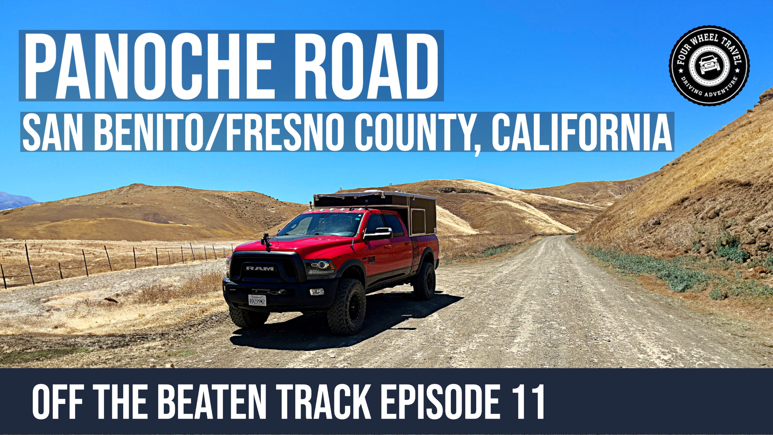
Let’s talk about our journey down Panoche Road, California! This road bridges the Central Coast’s Paicines on Highway 25 and the Central Valley’s Interstate 5 freeway. Although Panoche Road is 45 miles long, our focus was the 12-mile dirt section at the eastern end.
We initially planned to record our trip down the 33-mile paved stretch of Panoche Road, but unfortunately, our GoPro camera had other ideas. Despite this setback, the paved section offers scenic views throughout. However, the road quality decreases the further you travel, likely due to the San Andreas faultline’s influence.
The dirt section is relatively easy to navigate when dry but becomes impassable in wet conditions, as indicated by signage. A 4WD vehicle is advisable, although high clearance isn’t required except at the Panoche Creek crossing. From what we heard, this crossing can become too deep to traverse during the rainy and runoff seasons.
We visited in June, and it was evident that parts of the road were made of dried mud. One thing to note is that the Panoche Creek ford at the dirt section’s western end appeared to have suffered significant damage, possibly from the heavy rain in Winter ’22/’23. However, since this was our first visit, the damage may have been there before. There’s a particularly narrow section immediately after the creek, so be cautious when driving through it.
As mentioned in the video, here are links to the BLM recreation areas in the region:
Tumey Hills: https://www.blm.gov/visit/tumey-hills
Panoche Hills: https://www.blm.gov/visit/panoche-hills
Griswold Hills: https://www.blm.gov/visit/griswold-hills
I believe there is camping at Tumey Hills and Panoche Hills, but vehicular access is prohibited from April through October due mostly to fire risk I believe. There is dispersed camping at Griswold Hills BLM but no vehicle access beyond the parking area. Check the above BLM websites for status.
Check out the other tracks in our Off The Beaten Track series.
Follow us on Mastodon at fourwheeltravel@overland.social or sign up for a Mastodon account on our overland-themed Mastodon instance at overland.social!
Gear we use:
- GoPro Hero11 Black Mini: https://amzn.to/3tHQoyc
- GoPro Hero11 Black: https://amzn.to/3fQw4Hf
- GoPro Hero7 Black: https://amzn.to/3Lld3s0
- GoPro Suction Cup Mount: https://amzn.to/3Dyc59X
- RAM Mounts X-Grip Phone Holder: https://amzn.to/3UmBAB5
- RAM Mounts Suction Base: https://amzn.to/3xt3OQU
- Garmin VIRB 360 Camera: https://amzn.to/2RSPyze
- Tube Mounted base for Rotopax: https://amzn.to/3nI4g8L
- General Rotopax Accessories at Amazon: https://amzn.to/3ySw4gU
As an Amazon Associate, we earn a commission on qualifying sales.